SlideTeam
4 US Census regions
Northeast, Midwest, South, West
Built forregion us mapcensus regionregion of usa
The four Census Bureau regions, the nine divisions, or the five everyday regions (including the Southwest). Zoom into the Northeast or Midwest with state capitals.
Each one loads in the editor above with sample content you can replace.
Northeast, Midwest, South, West
West, Southwest, Midwest, Southeast, Northeast
New England, Mid-Atlantic, Pacific and more
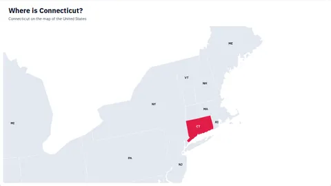
The nine Northeast states zoomed in
The 12 Midwest states zoomed in
| Region | States |
|---|---|
| Northeast | Connecticut, Maine, Massachusetts, New Hampshire, Rhode Island, Vermont, New Jersey, New York, Pennsylvania |
| Midwest | Illinois, Indiana, Michigan, Ohio, Wisconsin, Iowa, Kansas, Minnesota, Missouri, Nebraska, North Dakota, South Dakota |
| South | Delaware, District of Columbia, Florida, Georgia, Maryland, North Carolina, South Carolina, Virginia, West Virginia, Alabama, Kentucky, Mississippi, Tennessee, Arkansas, Louisiana, Oklahoma, Texas |
| West | Arizona, Colorado, Idaho, Montana, Nevada, New Mexico, Utah, Wyoming, Alaska, California, Hawaii, Oregon, Washington |
The U.S. Census Bureau uses four: the Northeast, the Midwest, the South and the West, split into nine divisions.
Usually Arizona, New Mexico, Texas and Oklahoma; some definitions add Nevada, Utah, Colorado and southern California.
Illinois, Indiana, Iowa, Kansas, Michigan, Minnesota, Missouri, Nebraska, North Dakota, Ohio, South Dakota and Wisconsin.
Yes. Download → PowerPoint gives a 16:9 slide where every region is its own named freeform shape, grouped with the labels, pins and legend, so you can recolor, move or delete any part. It opens in PowerPoint, Keynote and Google Slides.
Yes. It is free, with no sign-up and no watermark. Your map is saved in your own browser, and what you download is yours to use in presentations, reports and documents, including at work.
Click Add data and paste two columns from Excel or Google Sheets — a region name and a number or group — or upload a CSV or Excel file. Names, ISO codes and common spellings are recognised, and rows that don't match are listed so you can fix them.
Yes. Open the Pins tab to search about 25,000 cities, click the map to drop a pin, or paste a list with latitude and longitude. Pins can be sized by value, labeled and joined with route lines.
Map data: Natural Earth (public domain) · US counties: U.S. Census Bureau · Cities: GeoNames (CC BY 4.0)
Pick the world, a continent, or any country with its states and provinces.
Templates use sample data. Your current map can be restored with Undo.
Paste two columns from Excel or Google Sheets — a region name and a value — or upload a file.
New here?