

Jamaica powerpoint maps




Try Before you Buy Download Free Sample Product
 Impress Your
 Audience
 100%
100% Editable
 Save Hours
 of Time


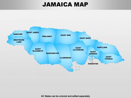
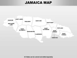
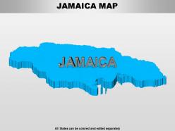
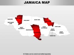
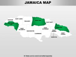
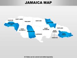
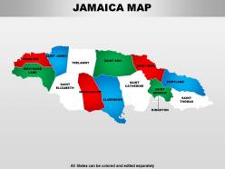
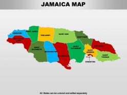
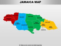
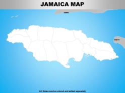
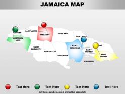
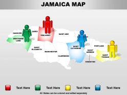
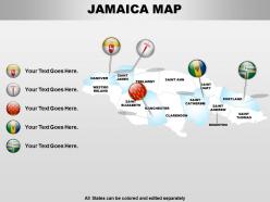
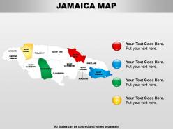
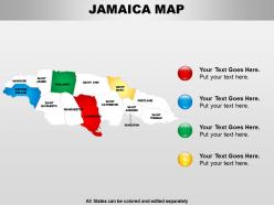
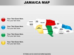
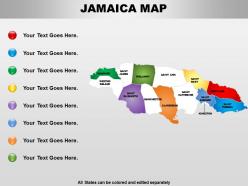
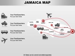
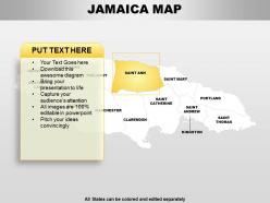
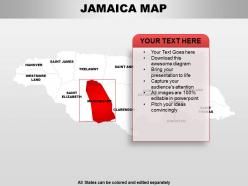
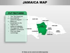
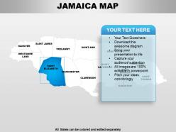
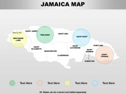
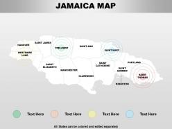
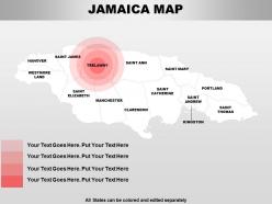
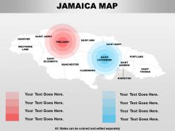
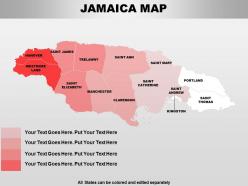
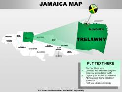
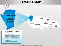
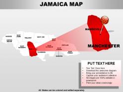
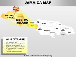
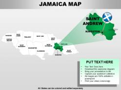
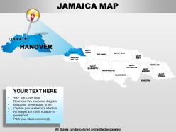
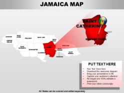
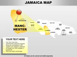
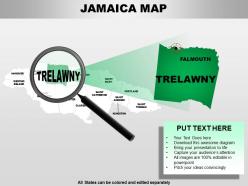
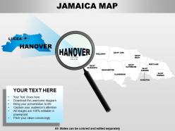
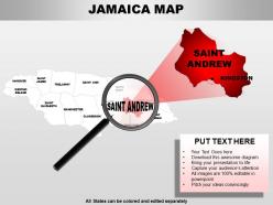
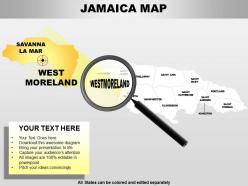
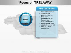
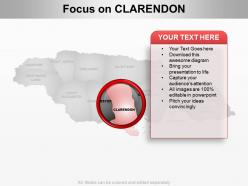
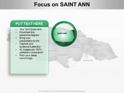
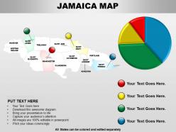
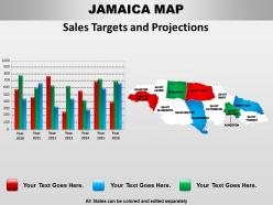
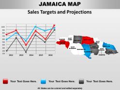
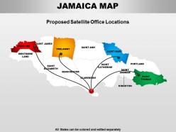
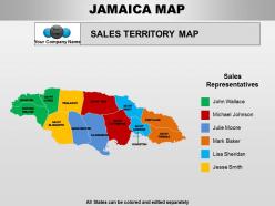
We are extremely passionate to introduce you with our modifiable PowerPoint charts to match every presentation. It is evident that the audiences can remember data when you use a professionally appealing illustrated map slide to propose your business and management information, therefore keeping that in mind our team has created the Jamaica PPT map templates which are capable of displaying vast data in a precise and non-complex manner. Apart from this, each and every pattern shown in this map features clear, bold graphics to make sure that the messages are communicated properly and there is no confusion. Moreover, these layouts have the tendency to put a strong and everlasting impact on the viewers. Also, you will be able to display your purpose of the presentation in different regions of Jamaica without even having to add any other designs. Overall, these illustrations would be great if you are into exporting or importing or having branches in this particular country.Take the time to make your presentation perfect. Our affordable Jamaica Powerpoint Maps are only a heartbeat away.
People who downloaded this PowerPoint presentation also viewed the following :
Jamaica powerpoint maps with all 63 slides:
Our Jamaica Powerpoint Maps don't require fat cheques. They come easily within your budget.

FAQs for
Educational maps of Jamaica commonly include physical maps showing topography and Blue Mountains, political maps highlighting parishes and Kingston, climate maps displaying rainfall patterns, economic maps featuring bauxite mining and tourism zones, and historical maps illustrating colonial periods. These maps enhance geography lessons by connecting Jamaica's diverse landscapes, from coastal plains to mountainous regions, with its agricultural and industrial development, ultimately delivering comprehensive understanding of Caribbean geography and economic systems.
Tourism maps of Jamaica emphasize visitor-focused information like attractions, beaches, hotels, restaurants, and entertainment venues, while geographical maps prioritize physical features, elevation, political boundaries, and infrastructure details. Tourism maps streamline content for travelers by highlighting popular destinations, cultural sites, and recreational activities, ultimately delivering enhanced vacation planning and navigation experiences, while geographical maps provide comprehensive topographical and administrative data for educational or professional purposes.
Key historical landmarks on Jamaica maps include Spanish Town (former colonial capital), Port Royal (historic pirate stronghold), Devon House, Rose Hall Great House, and Blue Mountain coffee plantations. These landmarks showcase Jamaica's colonial heritage, sugar plantation history, and cultural evolution, with many tourism and educational organizations finding that detailed historical mapping enhances visitor experiences while preserving national heritage.
Modern cartography techniques have revolutionized Jamaican mapping through satellite imagery, GPS technology, LiDAR scanning, and geographic information systems (GIS). These advanced methods enable precise coastal boundary mapping, detailed topographical analysis, and real-time data integration, with government agencies, tourism operators, and urban planners finding significantly enhanced accuracy for infrastructure development, disaster preparedness, and economic planning initiatives.
Maps reveal Jamaica's cultural diversity by highlighting settlement patterns, heritage sites, ethnic distributions, and community boundaries across the island's distinct regions. Through demographic mapping and cultural heritage visualization, researchers and visitors can explore how Maroon communities, colonial influences, and diverse ethnic groups have shaped different parishes, ultimately delivering deeper insights into Jamaica's multicultural landscape and enabling more informed cultural tourism and preservation efforts.
Interactive maps enhance Jamaica's travel experience by providing real-time navigation, location-based recommendations, offline accessibility, personalized itineraries, and integrated booking capabilities. These digital tools streamline trip planning by connecting travelers to local attractions, restaurants, and cultural sites while enabling seamless coordination of transportation and accommodations, ultimately delivering more immersive exploration and reduced travel stress.
**INPUT**: What are the best resources for obtaining high-quality digital maps of Jamaica? **OUTPUT**: High-quality digital maps of Jamaica are available through the Land Information Council of Jamaica, Survey Department, OpenStreetMap, and commercial providers like Esri and Google Maps Platform. These resources enable businesses, research institutions, and government agencies to access detailed geographic data for urban planning, tourism development, and infrastructure projects, ultimately delivering enhanced operational efficiency and strategic decision-making capabilities.
Government maps of Jamaica typically emphasize administrative boundaries, infrastructure planning, zoning regulations, and public service distribution, while private sector maps focus on commercial opportunities, tourist attractions, property values, and market analytics. Through specialized mapping technologies, banks utilize demographic overlays for branch placement, hotels leverage tourism heat maps for development decisions, and retail companies analyze foot traffic patterns, ultimately delivering strategic advantages in an increasingly competitive landscape.
Jamaica's mountainous terrain, including the Blue Mountains, and river systems like the Rio Grande significantly shape cartographic representation through topographical contours, elevation markers, and watershed boundaries. These natural features determine road networks, settlement patterns, and administrative divisions, with many maps emphasizing how geographic constraints influence urban development and transportation infrastructure across the island's diverse landscape.
The most notable changes in Jamaican maps over recent decades include digital transformation from paper to interactive formats, enhanced GPS accuracy, detailed urban development mapping, climate change coastal adjustments, and improved infrastructure documentation. These technological advances streamline navigation for tourism operators, shipping companies, and government planners, while delivering real-time updates and precise location data, ultimately enhancing operational efficiency across Jamaica's growing economy.
Educators can effectively use maps to teach Jamaica's geography by incorporating interactive digital maps, topographical studies, climate zone identification, parish boundary exercises, and cultural landmark exploration. Through hands-on activities like creating elevation profiles of the Blue Mountains or tracing hurricane paths, students develop spatial reasoning skills while understanding Jamaica's diverse ecosystems, ultimately enhancing geographical literacy and Caribbean regional awareness.
**INPUT**: What tools and software are recommended for creating custom maps of Jamaica? **OUTPUT**: Recommended tools include ArcGIS, QGIS, Google Earth Pro, MapInfo, and Adobe Illustrator for vector editing. These applications streamline map creation by offering precise geographic data integration, customizable styling options, and professional output formats, with many businesses and educational institutions finding that combining GIS software with design tools ultimately delivers both technical accuracy and visual appeal for presentations. [Word count: 58 words]
Satellite images complement traditional maps of Jamaica by providing real-time environmental data, detailed coastal monitoring, and updated urban development patterns that static maps cannot capture. Through high-resolution imagery, government agencies, tourism operators, and urban planners can track hurricane damage, monitor reef health, and assess infrastructure changes, ultimately delivering more accurate planning decisions and enhanced resource management across the island's diverse landscapes.
Mapping Jamaica's coastal areas presents challenges including dynamic shoreline changes from erosion and hurricanes, complex reef systems requiring specialized sonar technology, and limited access to remote cays and underwater formations. These mapping complexities affect marine conservation efforts, tourism development, and coastal infrastructure planning, with many environmental agencies and developers finding that comprehensive marine surveys ultimately enable better resource management and strategic coastal development initiatives.
Local communities in Jamaica utilize maps for tourism development, agricultural planning, infrastructure projects, disaster preparedness, and resource management initiatives. Through digital mapping technologies, communities identify optimal locations for small businesses, track agricultural yields, plan transportation routes, and coordinate social services, ultimately enabling targeted economic growth and improved community resilience in an increasingly competitive Caribbean market.
-
Excellent Designs.
-
Awesome presentation, really professional and easy to edit.