


Usa north carolina state powerpoint maps




Try Before you Buy Download Free Sample Product
 Impress Your
 Audience
 100%
100% Editable
 Save Hours
 of Time


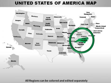
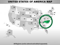
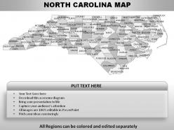
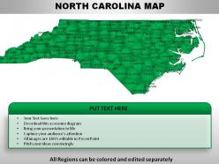
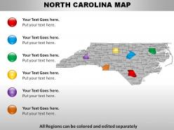
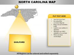
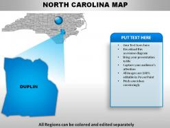
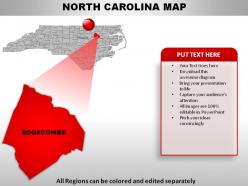
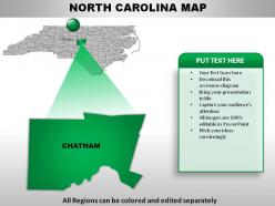
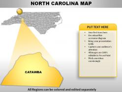
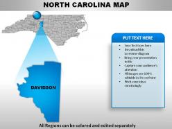
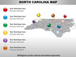
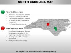
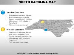
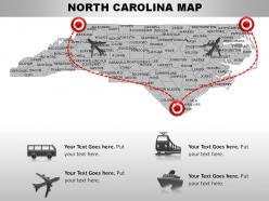
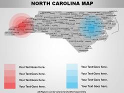
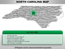
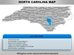
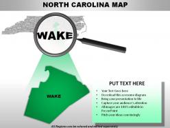
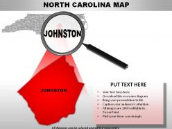
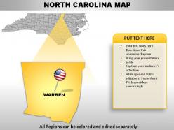
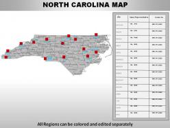
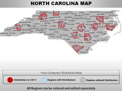
We present to you our USA North Carolina State PowerPoint Maps. If you download this vector-based map PPT you can use it to show sales territories, business and new office locations, travel planning etc. through your presentation. This American PowerPoint presentation can be used for geographical representations, territorial boundaries and to show some kind of climatic conditions in the particular area. This template contains USA map with special reference to North Carolina, so you can use it to present any kind of information, which is exclusive to that area. The information could be related to the literacy rate, employment rate, crime rate, population, some kind of deficiency or widespread prevalence of a disease etc. Our business professionals have skillfully and carefully designed this deck of complete 28 slides especially for you. You can download this PowerPoint slideshow and use for almost everything in the described area in the United States of America. This presentation will be very useful for being able to display location and other geographic details in your PowerPoint presentation. So, simply download this slideshow and make the most of it. Light a fire with our USA North Carolina State Powerpoint Maps. Spread the warmth of your ideas.
People who downloaded this PowerPoint presentation also viewed the following :
Usa north carolina state powerpoint maps with all 28 slides:
Sharpen your senses with our USA North Carolina State Powerpoint Maps. Your thoughts will make a conscious effort.

FAQs for Usa north carolina
North Carolina PowerPoint maps include customizable county boundaries, major city markers, highway systems, demographic overlays, and interactive zoom capabilities. These features enhance presentations by enabling targeted regional analysis, supporting data visualization with geographic context, and facilitating audience engagement through visual storytelling, with many businesses finding that location-specific presentations deliver more compelling insights and strategic clarity.
North Carolina PowerPoint maps enhance educational experiences by facilitating geographic literacy, historical timeline presentations, demographic analysis, regional comparisons, and interactive classroom discussions. Teachers across elementary, middle, and high school levels find these visual tools particularly effective for social studies, history, and geography lessons, ultimately delivering improved student engagement and comprehension while streamlining lesson planning processes.
Industries that benefit most from North Carolina-specific PowerPoint maps include real estate development, logistics and transportation, tourism and hospitality, healthcare networks, and regional banking. These maps enable companies to visualize market territories, distribution networks, and service areas effectively, with many finding that location-specific presentations enhance stakeholder understanding and strategic decision-making across the state's diverse economic regions.
North Carolina PowerPoint maps aid in understanding geographical diversity by visually representing the state's distinct regions, elevation changes, coastal plains, mountain ranges, and urban-rural distributions across counties. These interactive presentations enable educators, businesses, and government agencies to illustrate demographic patterns, economic variations, and resource allocation differences, ultimately delivering clearer insights for strategic planning and regional development initiatives.
Yes, customizable North Carolina PowerPoint map templates are readily available, featuring editable county boundaries, major cities, highways, and demographic overlays that can be tailored for specific presentations. These templates enable businesses, educational institutions, and government agencies to create targeted regional analyses, market penetration strategies, and location-based presentations, ultimately delivering professional visualizations that enhance audience understanding and support strategic decision-making across various sectors.
North Carolina PowerPoint maps effectively display demographic data, sales territories, market penetration rates, regional performance metrics, and geographic distribution patterns. These visual tools enable businesses to showcase county-level analytics, population densities, economic indicators, and competitive positioning across different regions, ultimately delivering clearer strategic insights and enhanced stakeholder understanding for data-driven decision making.
North Carolina PowerPoint maps facilitate better engagement by transforming abstract data into visual, geographic representations that audiences can immediately recognize and connect with. These maps enable presenters to highlight regional trends, demographic patterns, market opportunities, and performance metrics across specific counties or cities, ultimately delivering more compelling storytelling and helping audiences retain key insights through familiar geographic context.
**INPUT**: What are some best practices for integrating North Carolina maps into existing presentations? **OUTPUT**: Best practices include maintaining consistent color schemes with your brand palette, ensuring proper sizing for readability, adding clear legends and data labels, and positioning maps strategically within your slide flow. These visual elements enhance audience comprehension by creating seamless narrative transitions, supporting data storytelling, and delivering geographic context that strengthens business cases, with many organizations finding that well-integrated maps significantly improve stakeholder engagement. **Word count: 60 words**
North Carolina PowerPoint maps are highly effective for tourism presentations, enabling travel agencies, tourism boards, and hospitality businesses to showcase destinations, attractions, travel routes, and regional highlights with visual clarity. These maps enhance marketing presentations by highlighting scenic areas, cultural sites, and tourism infrastructure, while helping audiences understand geographical relationships between attractions, ultimately delivering more engaging visitor experiences and competitive advantage in tourism promotion.
North Carolina PowerPoint maps support business planning by enabling geographic data visualization, market analysis, territory planning, resource allocation, and strategic positioning across the state's diverse regions. These visual tools streamline decision-making processes by highlighting demographic patterns, competitor locations, and growth opportunities, with many organizations finding that geographic insights accelerate market entry strategies and optimize operational efficiency.
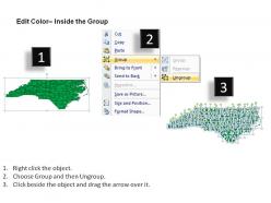
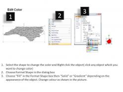
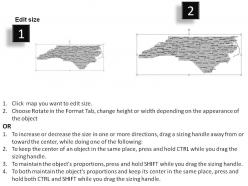
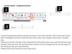
PowerPoint's built-in editing tools, including shape formatting, color customization, text boxes, and grouping functions, are essential for personalizing North Carolina maps. These features enable users to highlight specific regions, add demographic data, customize color schemes, and incorporate branding elements, with many businesses and educational institutions finding that strategic visual customization enhances audience engagement and presentation impact.
Cultural and historical landmarks in North Carolina enhance map presentations by providing visual anchors, storytelling context, and audience connection points that make data more memorable and engaging. These landmarks, from the Outer Banks lighthouses to Asheville's Biltmore Estate, enable presenters to contextualize business insights within familiar geographic references, ultimately delivering stronger audience comprehension and retention across tourism, education, and regional development presentations.
3D PowerPoint maps for North Carolina offer enhanced visual depth, improved audience engagement, better geographic perspective, clearer regional distinctions, and more professional presentation aesthetics. These visual elements streamline complex data communication by highlighting topographical features, county boundaries, and demographic information more effectively, with many organizations finding that three-dimensional representations ultimately deliver stronger stakeholder comprehension and more memorable presentations.
North Carolina PowerPoint maps enhance research data visualization by enabling geographic context, spatial pattern analysis, demographic overlays, and regional comparisons within familiar presentation software. These maps allow researchers to transform statistical data into compelling visual narratives, with academic institutions, policy research organizations, and market analysts finding that geographic visualization significantly improves audience comprehension and stakeholder engagement.
PowerPoint maps for North Carolina presentations can present challenges including data accuracy across counties, visual clarity for smaller regions, and ensuring demographic information remains current. However, these challenges are easily addressed through high-quality map templates, proper scaling techniques, and regular updates, with many businesses finding that well-designed North Carolina maps significantly enhance regional sales presentations, demographic analyses, and strategic planning discussions.
-
Great quality slides in rapid time.
-
Unique design & color.