


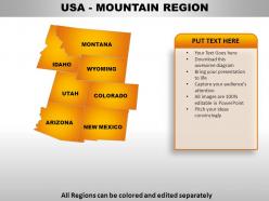
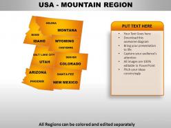
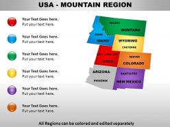
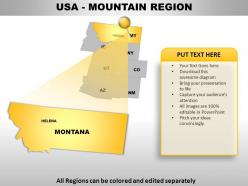
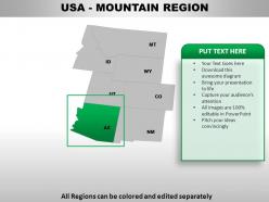
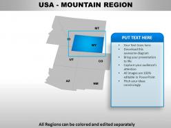
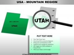
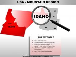
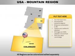
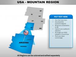
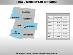
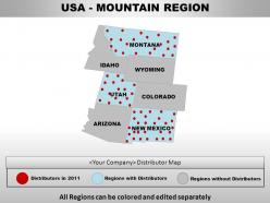
Usa mountain region country powerpoint maps





Try Before you Buy Download Free Sample Product
 Impress Your
 Audience
 100%
100% Editable
 Save Hours
 of Time


Our USA Mountain Region Country Powerpoint Maps are a useful tool. Engrave your ideas in the minds of your listeners.
People who downloaded this PowerPoint presentation also viewed the following :
Usa mountain region country powerpoint maps with all 28 slides:
Remove the shackles with our USA Mountain Region Country Powerpoint Maps. Let your thoughts roam far and free.
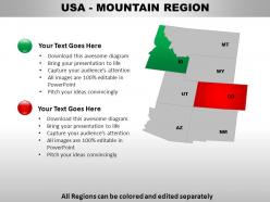
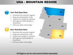
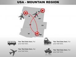
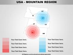

FAQs for Usa mountain region
USA mountain region maps include topographical elevation lines, peak identification markers, trail networks, geological formations, and climate zone indicators. These comprehensive mapping features enhance outdoor navigation by displaying elevation changes, weather patterns, and accessibility routes, with many hikers, researchers, and tourism organizations finding that detailed regional maps ultimately deliver safer expeditions and strategic route planning advantages.
Topographic maps emphasize physical terrain features like elevation changes, contour lines, and natural landforms, while political maps focus on boundaries, states, and administrative divisions. In mountain regions, topographic maps reveal detailed altitude variations, slope gradients, and geological formations, whereas political maps highlight jurisdictional boundaries crossing those peaks, ultimately delivering comprehensive geographic understanding for both outdoor navigation and administrative planning.
Digital maps offer real-time GPS navigation, offline downloading capabilities, weather integration, trail condition updates, and emergency location sharing for mountain exploration. While printed maps provide reliable backup without battery dependence, digital solutions enable hikers and outdoor enthusiasts to access dynamic route planning, elevation profiles, and safety features, ultimately delivering enhanced navigation accuracy and emergency preparedness in challenging mountain terrain.
Interactive maps enhance mountain activity planning by providing real-time trail conditions, elevation profiles, weather overlays, difficulty ratings, and GPS navigation capabilities. These digital tools enable hikers, climbers, and outdoor enthusiasts to assess terrain challenges, identify optimal routes, and monitor safety conditions, while park services and recreation companies find that interactive features significantly improve visitor preparation and reduce rescue incidents.
Elevation profiles provide crucial insights into mountain region geography by displaying vertical terrain changes, slope gradients, peak heights, valley depths, and ridge patterns across specific routes or areas. These visual tools enable hikers, engineers, urban planners, and researchers to assess trail difficulty, plan infrastructure projects, and understand geological formations, ultimately delivering enhanced safety planning and more informed decision-making for outdoor activities and development projects.
Historical maps of USA mountain regions reveal exploration routes, settlement patterns, territorial boundaries, and resource discoveries that shaped westward expansion. These cartographic records document how explorers like Lewis and Clark navigated mountain passes, where mining communities established footholds, and how railroads ultimately connected isolated regions, with historians and geographers finding these maps essential for understanding the strategic challenges and opportunities that mountains presented to America's growing nation.
The most popular mountain ranges include the Rocky Mountains, Appalachian Mountains, Sierra Nevada, Cascade Range, and Alaska Range. These ranges are represented on maps through topographic contours, elevation shading, relief symbols, and color gradients, with many cartographers finding that combining multiple visualization techniques delivers enhanced geographic understanding and supports better planning for outdoor recreation, resource management, and regional development across diverse industries.
Climate variations significantly influence mountain region mapping through temperature gradients, precipitation patterns, vegetation zones, and seasonal accessibility changes. These factors determine topographic detail accuracy, with cartographers incorporating elevation-based climate data, snowpack variations, and treeline boundaries to create comprehensive regional representations, ultimately delivering more precise navigation tools and environmental planning resources for outdoor enthusiasts and land management professionals.
Essential map layers for USA mountain hikers and climbers include topographic contours, trail systems, elevation profiles, weather stations, and emergency access points. These layers enhance safety and navigation by providing accurate terrain assessment, route planning capabilities, and real-time conditions monitoring, with many outdoor recreation organizations finding that comprehensive layered mapping significantly reduces emergency incidents while improving expedition success rates.
GIS technology analyzes mountain regions by integrating topographic data, satellite imagery, geological surveys, and climate models into comprehensive mapping systems. These tools enable researchers and organizations to assess terrain stability, monitor environmental changes, and optimize resource management across mountainous landscapes, with agencies like the USGS and national parks finding that multi-layered analysis delivers enhanced decision-making capabilities.
Cartographic techniques for mountain areas include contour lines, hillshading, hypsometric tinting, digital elevation models, and orthographic projections. These methods enhance topographical accuracy by combining elevation data, shadow effects, and color gradients, with many geographic institutions finding that layered visualization techniques ultimately deliver precise terrain representation and improved navigation capabilities for both professional and recreational applications.
Cultural and ecological aspects significantly influence USA mountain region mapping through indigenous place names, traditional land use patterns, habitat boundaries, and species distribution data. These maps integrate Native American territorial knowledge, recreational trail systems, and conservation priorities, while ecological factors determine watershed delineations, forest coverage zones, and wildlife corridors, ultimately delivering culturally sensitive and environmentally comprehensive geographical resources.
The best online sources for high-quality USA mountain region maps include USGS National Map Viewer, National Geographic Maps, AllTrails, CalTopo, and Gaia GPS platforms. These resources streamline outdoor planning by offering topographic details, elevation data, and trail information, with many hikers, researchers, and outdoor organizations finding that digital mapping tools ultimately deliver enhanced navigation accuracy and comprehensive geographic insights for mountain exploration.
Thematic maps help convey recreational opportunities by visualizing trail difficulty levels, seasonal accessibility, activity zones, elevation profiles, and facility locations through color coding and symbols. These specialized maps enable outdoor enthusiasts and tourism operators to identify hiking routes, skiing areas, and camping facilities efficiently, while helping park services and recreation departments optimize resource allocation and enhance visitor experiences across diverse mountain terrains.
When interpreting symbols and legends on mountain region maps, consider elevation indicators, trail difficulty markings, terrain features, water sources, and safety symbols like avalanche zones. These elements enable hikers, researchers, and outdoor enthusiasts to navigate safely while planning routes effectively, with many mountaineering organizations finding that proper symbol interpretation ultimately delivers better expedition outcomes and enhanced safety protocols.
-
Perfect template with attractive color combination.
-
Thanks for all your great templates they have saved me lots of time and accelerate my presentations. Great product, keep them up!