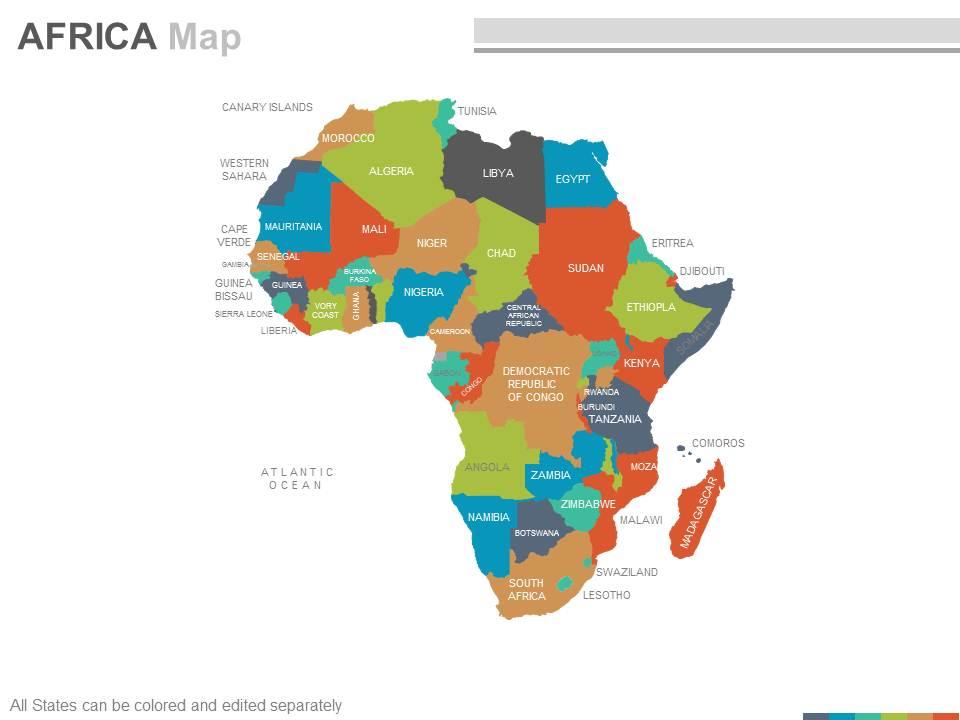
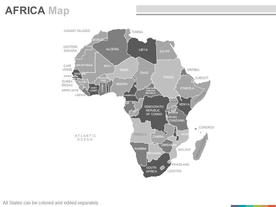
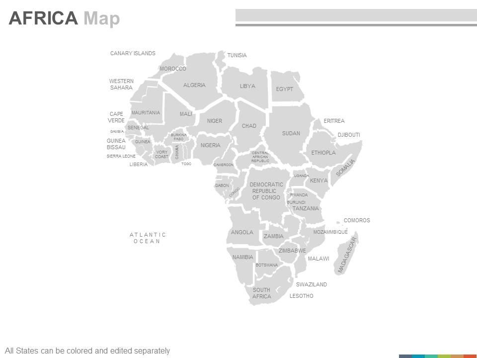
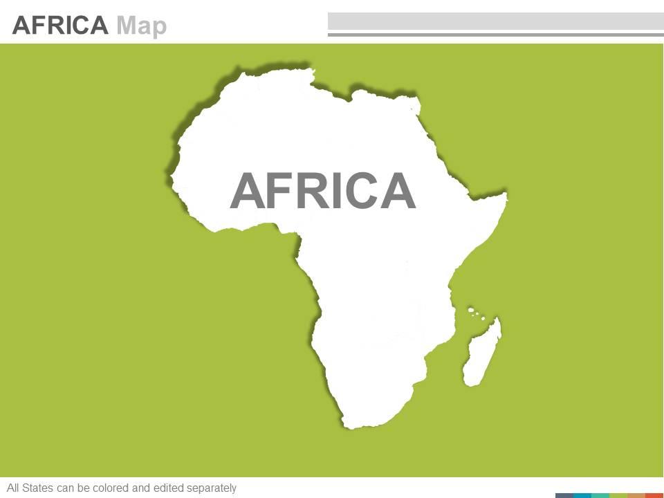
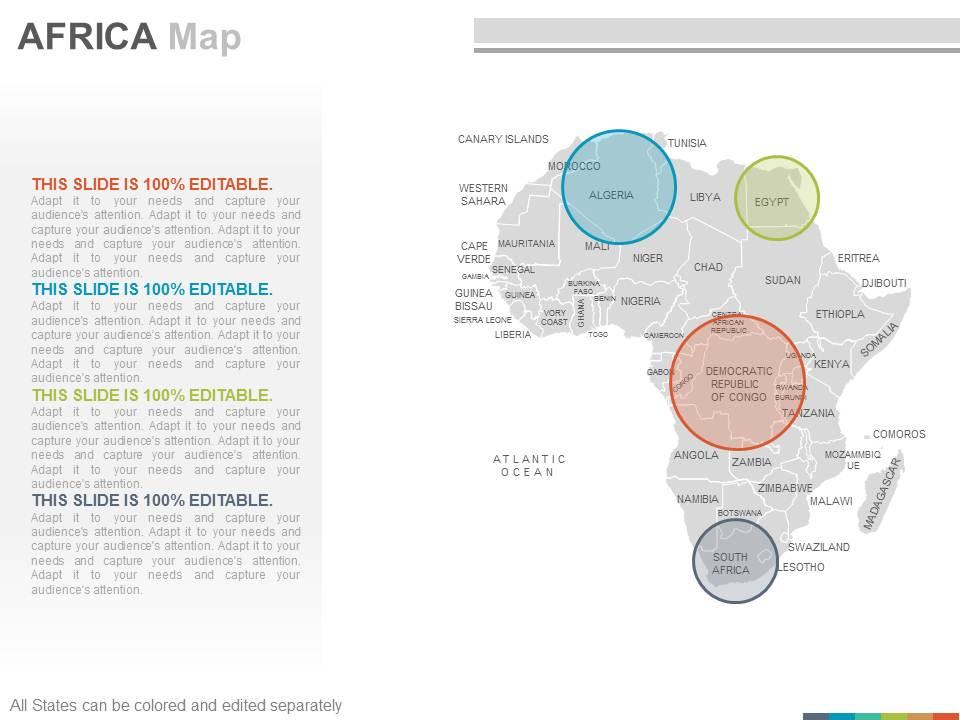
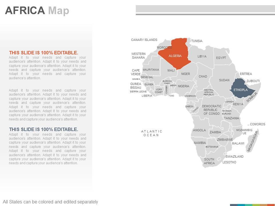
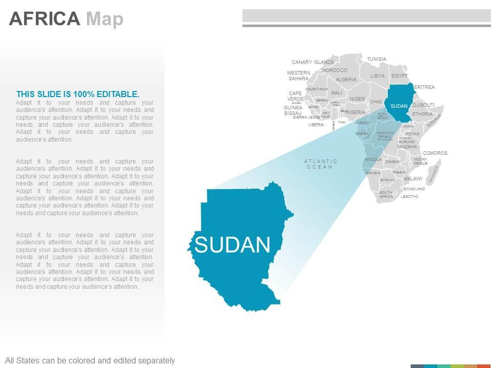
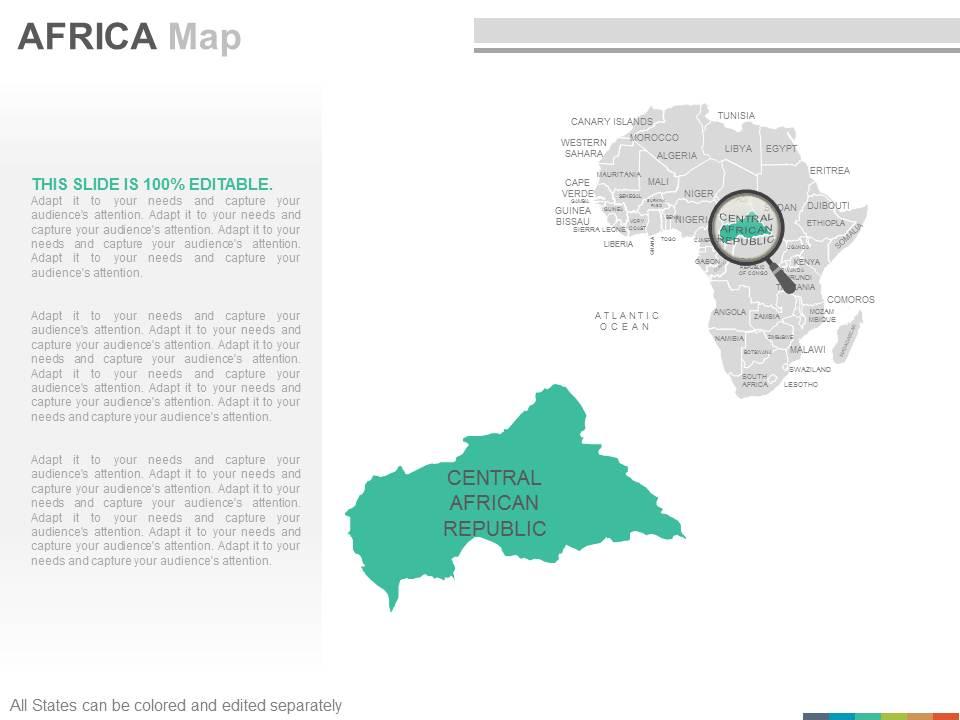
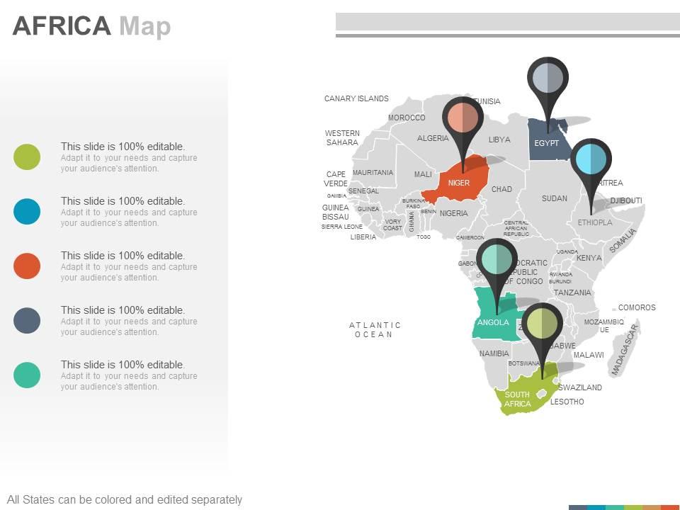
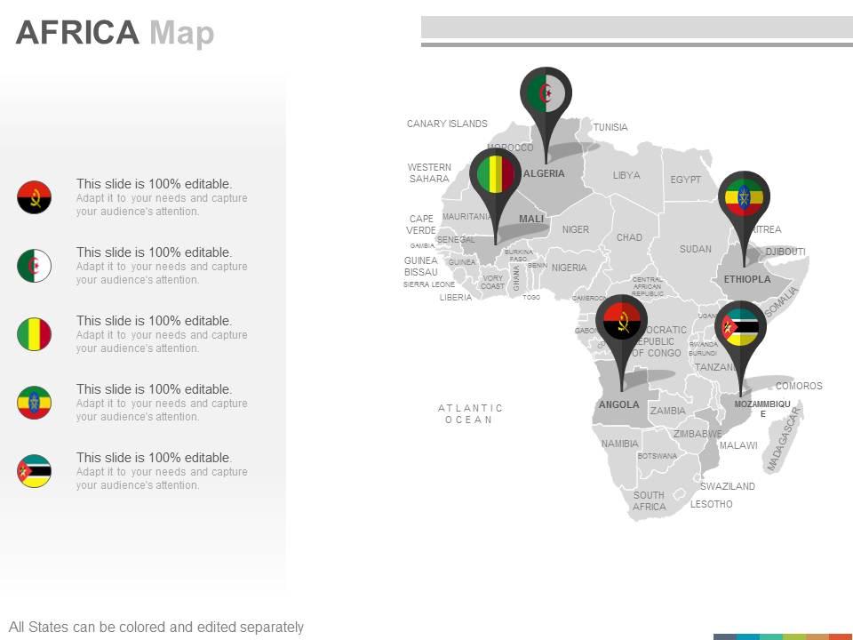
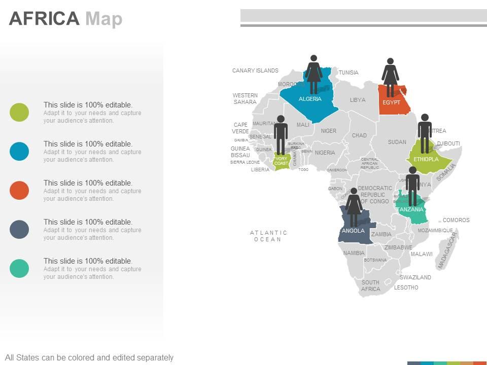
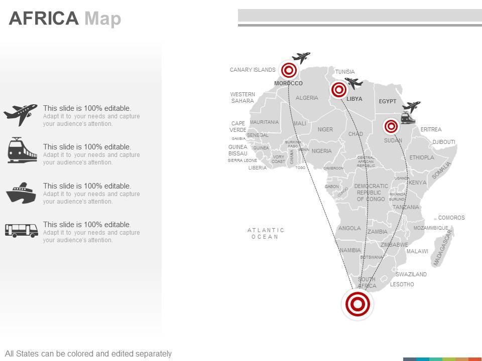
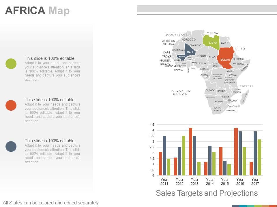
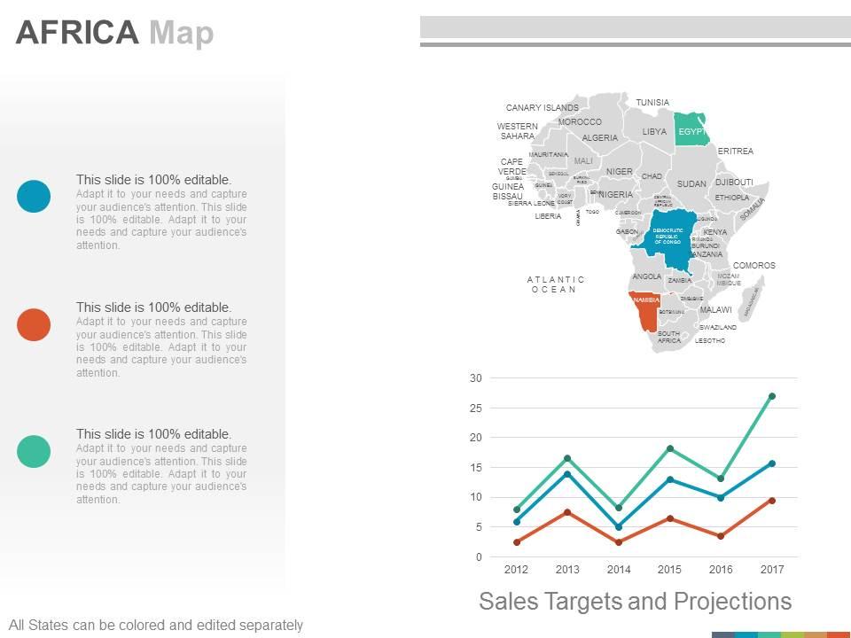
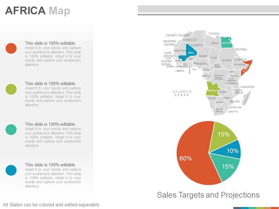
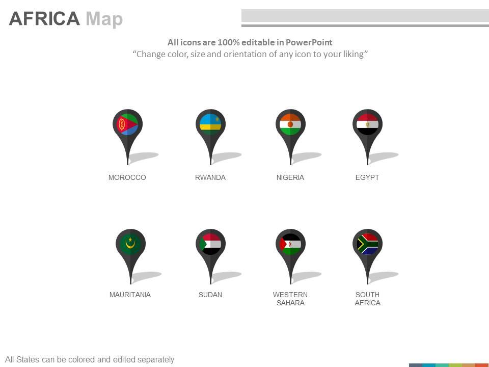
Maps of the african africa continent countries in powerpoint
You are just a click away from representing the second-largest and second most populated continent so just download our maps of the African Africa Continent Countries in PowerPoint design. This PPT slide design involves you in explaining that the unique cultural heritage, its natural heritage, nation’s social and economic values, their relations with other nation’s worldwide, the importance of its situated countries emblems and flags, their political and ethical values etc. The Continent is very rich with its renewable natural resources as it has several high mountains which can also be described with this Presentation slide. This PPT slide design composes of beautiful graphics and PowerPoint images etc., for a valuable interpretation of the relevant topic. Additionally, our Presentation design helps in initiating the historical value of the continent as the Ethiopia which is the second largest country in terms of population served as a symbol of Africa’s independence in the colonial period. So explore more with this PowerPoint template. Our Maps Of The African Africa Continent Countries In Powerpoint hand you the advantage. You will gain from the beginning.
- Google Slides is a new FREE Presentation software from Google.
- All our content is 100% compatible with Google Slides.
- Just download our designs, and upload them to Google Slides and they will work automatically.
- Amaze your audience with SlideTeam and Google Slides.
-
Want Changes to This PPT Slide? Check out our Presentation Design Services
- WideScreen Aspect ratio is becoming a very popular format. When you download this product, the downloaded ZIP will contain this product in both standard and widescreen format.
-

- Some older products that we have may only be in standard format, but they can easily be converted to widescreen.
- To do this, please open the SlideTeam product in Powerpoint, and go to
- Design ( On the top bar) -> Page Setup -> and select "On-screen Show (16:9)” in the drop down for "Slides Sized for".
- The slide or theme will change to widescreen, and all graphics will adjust automatically. You can similarly convert our content to any other desired screen aspect ratio.
Compatible With Google Slides

Get This In WideScreen
You must be logged in to download this presentation.
PowerPoint presentation slides
These are absolutely progressive PowerPoint visuals providing an eternal experience to the viewers. These are trajectory placed PPT layouts, designs, shapes, maps, shades and figures etc. These PPT graphics can be congruent with Google slides and other operating programs. This PPT design provides enough storage space, These Presentation templates can also be easily exportable in to various setups. The stages in this process are morocco, niger, sudan, ethiopla, eritrea, comoros, angola.
People who downloaded this PowerPoint presentation also viewed the following :
Maps of the african africa continent countries in powerpoint with all 22 slides:
Ride the surf with our Maps Of The African Africa Continent Countries In Powerpoint. They will keep you upright till you hit the shore.
-
it is good
-
Really like the color and design of the presentation.
-
Enough space for editing and adding your own content.


