Spatial Scanning Geospatial Remote Sensing Illustration
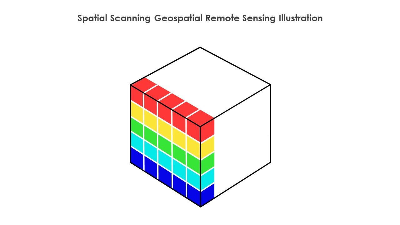
This Spatial scanning geospatial remote sensing illustration is a 100 percent editable Illustration. The downloaded file will have this Illustration in EPS, PNG and Powerpoint pptx format and is perfect for your next project. It has a simple yet stylish design.
You must be logged in to download this presentation.
 Impress your
 audience
Editable
of Time
PowerPoint presentation slides
This PowerPoint Illustration is a vibrant, colourful representation of spatial scanning. It is perfect for presentations on mapping, navigation, and location-based services. It is easy to use and adds a modern touch to any presentation.
Spatial Scanning Geospatial Remote Sensing Illustration with all 6 slides:
Use our Spatial Scanning Geospatial Remote Sensing Illustration to effectively help you save your valuable time. They are readymade to fit into any presentation structure.
-
Excellent design and quick turnaround.
-
They saved me a lot of time because they had exactly what I was looking for. Couldn’t be happier!


