

North america continents powerpoint maps


Try Before you Buy Download Free Sample Product
 Impress Your
 Audience
Editable
of Time


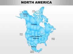
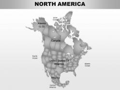
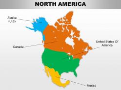
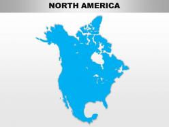
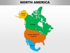
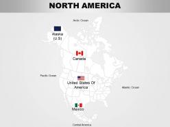
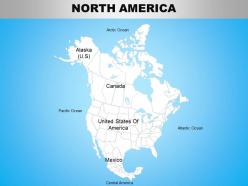
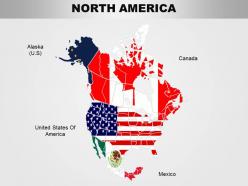
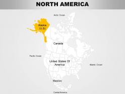
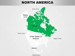
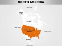
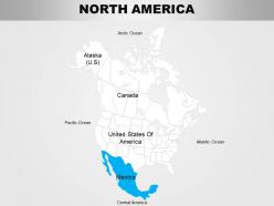
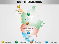
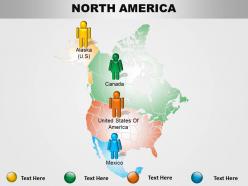
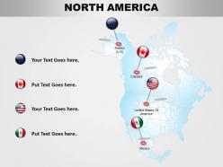
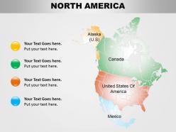
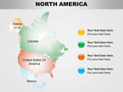
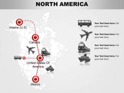
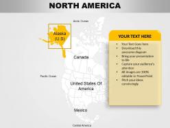
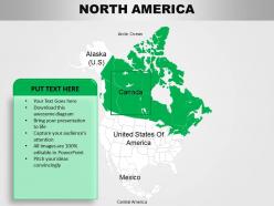
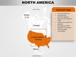
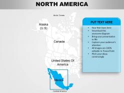
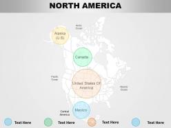
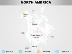
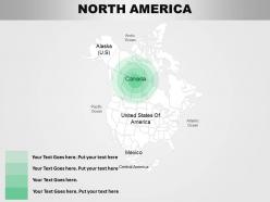
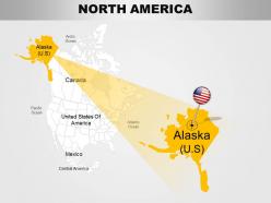
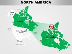
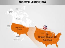
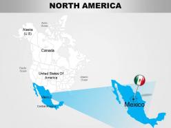
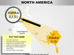
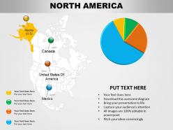
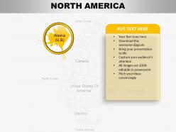
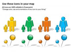
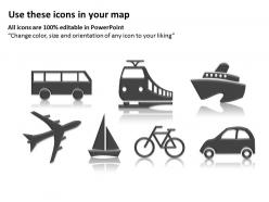
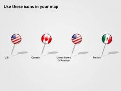
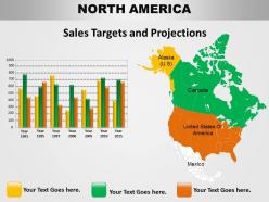
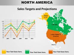
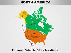
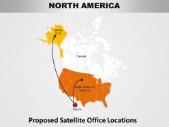
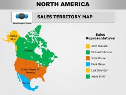
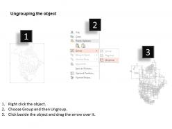
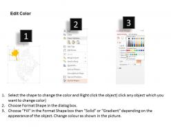
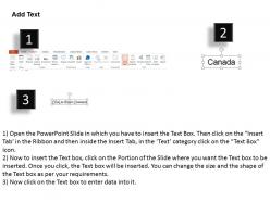
Are you a geography teacher who wants to present the map of North America in an interesting yet informative way? Are you a government representative who wants companies to invest in North America? Do you represent an environmental organization and want to highlight issues in certain parts of this continent? Then you are at the right place. This North America Continents PowerPoint Maps slide is so detailed oriented that the options to edit and use it in your own ways are endless. You can pin places, create detailed PPT infographics, change colors, create legends, make labels and so on. The highly customizable nature of this slide makes it unique. Maps are well known to convey important messages graphically and this slide takes this experience a step ahead. Not only this, you can use this map to show information of the country of your choice in North America. Use the massive color palette to highlight countries, states, cities, borders and other important features. Our North America Continents Powerpoint Maps let you have fun with facts. They can create a comic angle.
People who downloaded this PowerPoint presentation also viewed the following :
North america continents powerpoint maps with all 47 slides:
Experience greater facility in functioning with our North America Continents Powerpoint Maps. Your capabilities acquire another dimension.


-
Professional and unique presentations.
-
Very well designed and informative templates.